How a operation step for Ordindary Kriging to R_FACTOR data?
Hi everyone...I will explain to some questions about how a operation step for ordinary kriging to r-factor data before plotting into this blog.For this aim,first step is save with text(ms-dos) format to prepared tabular data with Excel sheet;

screenshot of tabular parameters at datafilename.txt file
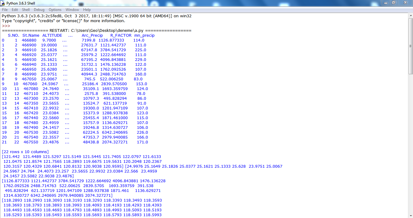
And,as second step,producing to python program with txt file into a folder at desktop position;

And compilation summaries;

Where,you shortly informed about how a process of ordinary kriging parameters with preparing to manual data before mapping by Basemap concept.Also,you experimented about a "r-package statistics" application by r-factor parameter.Other step,plotting of geographic data,first step of which preparing to grid points via 2d meshgrid procedure.Where,you will use a basemap object(parameter) under Mercator Projection.Also,this code has to a constraint role with your lat. and lon. informations.
Yes...I predict some ideas about chapter.So,absolutely require this procedural approach for aimed users to professional mapping.
Ekrem Erkuş
Geophysicist

Yorumlar
Yorum Gönder