Kayıtlar

Ekim, 2023 tarihine ait yayınlar gösteriliyor

Iwo-jima volcano (Volcano Islands, Japan): new phreatomagmatic eruption

Resim
  A new phreatomagmatic eruption took place at the volcano on 30 October. The eruption occurred approx. 1 km off the coast of Okinahama Beach, located on the south of the island. From aerial footage, a mixture of dark black volcanic ash, lapilli, bombs and seawater were being thrown to a height of 20-30 meters every few minutes. A certain amount of lighter pumice was also present in the ash, probably representing a batch of fresh magma that had driven the explosion. A pumice raft has been observed floating towards the other side of the island. Phreatomagmatic activity means that erupting magma reacts with external water, e.g. ground water, lake water, sea water etc. According to the Japan Meteorological Agency (JMA), the eruption site was affirmed at roughly the same location as happened in July-August, October and December last year. Over the past years, the volcanic activity at the volcano has caused the island to rise, actually some spots have risen more than 10 meters over the
Orthogonal condition sensing during analysis of Oct30

Resim
I observe orthogonal a condition referencing centre points of 6 red&green circles(So,yellow circles).For summary of orthogonal condition as a whole;  Update Oct30: And, first selective magnitude event among my descriptions; Second news; Third news; Also,a near description to red circle; Update Oct31: A perfect description based on  correlation to presentation; Update:

I need informing selective developments after presentation of Oct27👍

Resim
https://youtu.be/vfjupCqZipM?si=QnJbf5IolJWoQSDG  

Location description on needs of some geoenvs

Resim
 

Location description on needs of some geoenvs

Resim
 

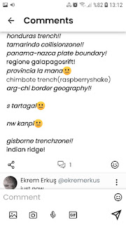
Reported Selective Differentiation for Globe Seismic Activity

Resim
 

Reported Selective Differentiation for Globe Seismic Activity

Resim
 

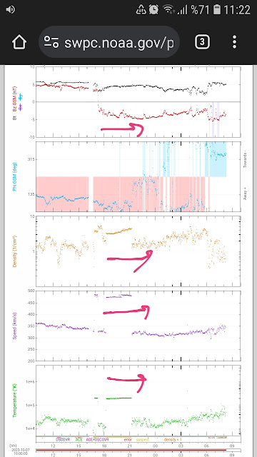
Weird Geomagnetic Storm Development!

Resim
  You will remember that I was expressed a correlation condition as 80% of data for a geomagnetic storm development.Also,a time determination with Solar Plasma Density Prediction Data is useful against uncertainty  for some conditions...But,I witness a correlation condition summarying as 60% of data with perfect correlation on Plasma Density Arrival Time of actual data;

M6.3_Western Afghanistan

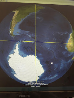
 We know that  presenting selective a pre-alert condition swarm type developments for a meaningful region as geometric of globe before  big event.I observed based on Hawaii with Western Afghanistan Event such a example.My MeWe platform followers evaluate that  10/6>74 earthquakes!!! between M0.1 and M2.7 at 03 km-4.9 km as hypocenter depths 10/7>67 earthquakes!!! between M0.5 and M2.8 at 0.2 km-4.3 km as hypocenter depths Yes,you are right!We observed Afghanistan Event with last two selective development of Hawaii😐We can say for Sandwich Isls Geography other geometric condition expressing nice correlation referencing this point👍 Thus,As two selective geography intermsof some geoenvs: >Mundrabilla Geography/AUSTRALIA >Atlantic Ocean (N30-N35,W55-W50)part  as description Ekrem Erkuş Geophysics Engineer/TURKEY

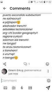
Reported Selective Differentiation for Globe Seismic Activity

Resim
 

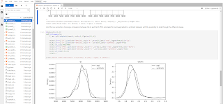
Seismic Petrophysics_A code part about producing Synthetic Data

Resim
  Datalink: https://github.com/aadm/geophysical_notes

Reported Selective Differentiation for Globe Seismic Activity

Resim
 

Geomagnetic Storm Conditions

Resim
 

Reported Selective Differentiation for Globe Seismic Activity

Resim
 

Documented Geomagnetic Storm Conditions

Resim
 

About SEGYSAK capabilities

Resim
The objective of SEGY-SAK was to bring together the usefulness of  segyio  and  xarray  to improve accessibility of seismic data for geoscientists using Python. Key objectives for this project are to make loading and exporting SEG-Y easier by offering common simple interfaces to  segyio  and to then load data into an  xarray  format either directly into memory or by streaming large files to disk. Currently SEGY-SAK can load 2D, 2D gathers, 3D and 3D gathers into a common format stable format called  seisnc  that you can use faithfully in your downstream applications. The  seisnc  format is outlined in the standard section of the documentation and is the basis for all of the other functionality provided by SEGY-SAK. Beyond that, the  segysak  package has enhancements to  xarray  that reduce complexity for common seismic related tasks to extracting information from seismic such as arbitrary line, well-deviation or horizon extractions. We also offer a long list of notebook examples to hel