Program Part allowed Effective Analysis of Satellite Data on Geopandas,Rasterio and Earthpy env.
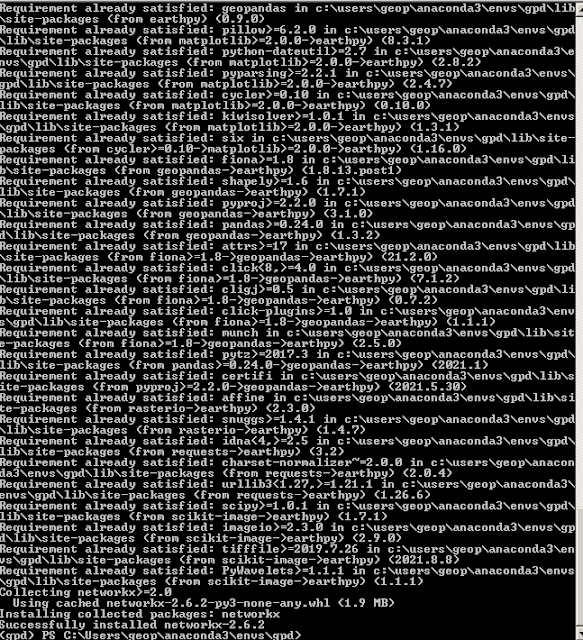
Geopandas is a module based on multicomponent...So,I suggest to producing of special a env. via Anaconda Navigator for this module. Where,I especially sign to lower a condition from 3.8 of python version on using rasterio module for this application(I recommend a selection with 3.7 for your special env.). In the other hand,I observed a ordinary progress about Fiona during installation via pip install method for Earthpy module...And next,I completed installation of Earthpy with pip install again installing Fiona module.
By the way,I share to Geopandas dependencies;
I controlled to requirements for special env. on this information.A summary;
Program:
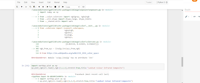
Note. I especially express considered of only one file due to some causes on .tif formats expressed for Program.Also,I documented a problem for ep code as different from em and es codes of Earthpy!!!
A summary about program folder included Vector dataset&.tif file ;
Evaluation:
If you have to solutions for .tif format strs presented on program with problems expressed about ep code,we can summary program as nice program part for data process field via satellite images


Yorumlar
Yorum Gönder