example about processing with rasterio a .tif file
Firstly,I must say that rasterio needs some requirements... I suggest to Anaconca Navigator Interface as most easy solution(Where,If subject a alert on your Python version,you must design python env. via python version options of interface!!!For example,I took a python version alert during installation for rasterio env...And next,I realised installation selecting python 3.7 version through create option via anaconda navigator;


I handled program after check;


Note. you can find via internet .tif file...Also,coordinate and pixel values for ln[20] handled on test data logic
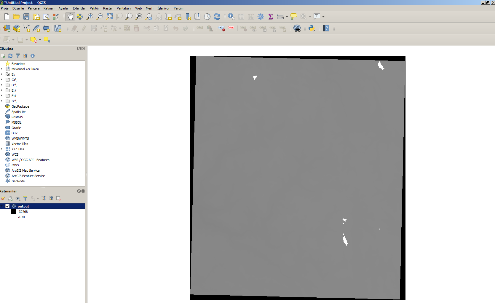
Next,I share some Qgis presentations of Output file;


Yorumlar
Yorum Gönder