Datça Region and Mt.Shindake_third Explosive Region Analysis
https://plus.google.com/u/0/109215510128907332215/posts/eeGZs9aKwaW
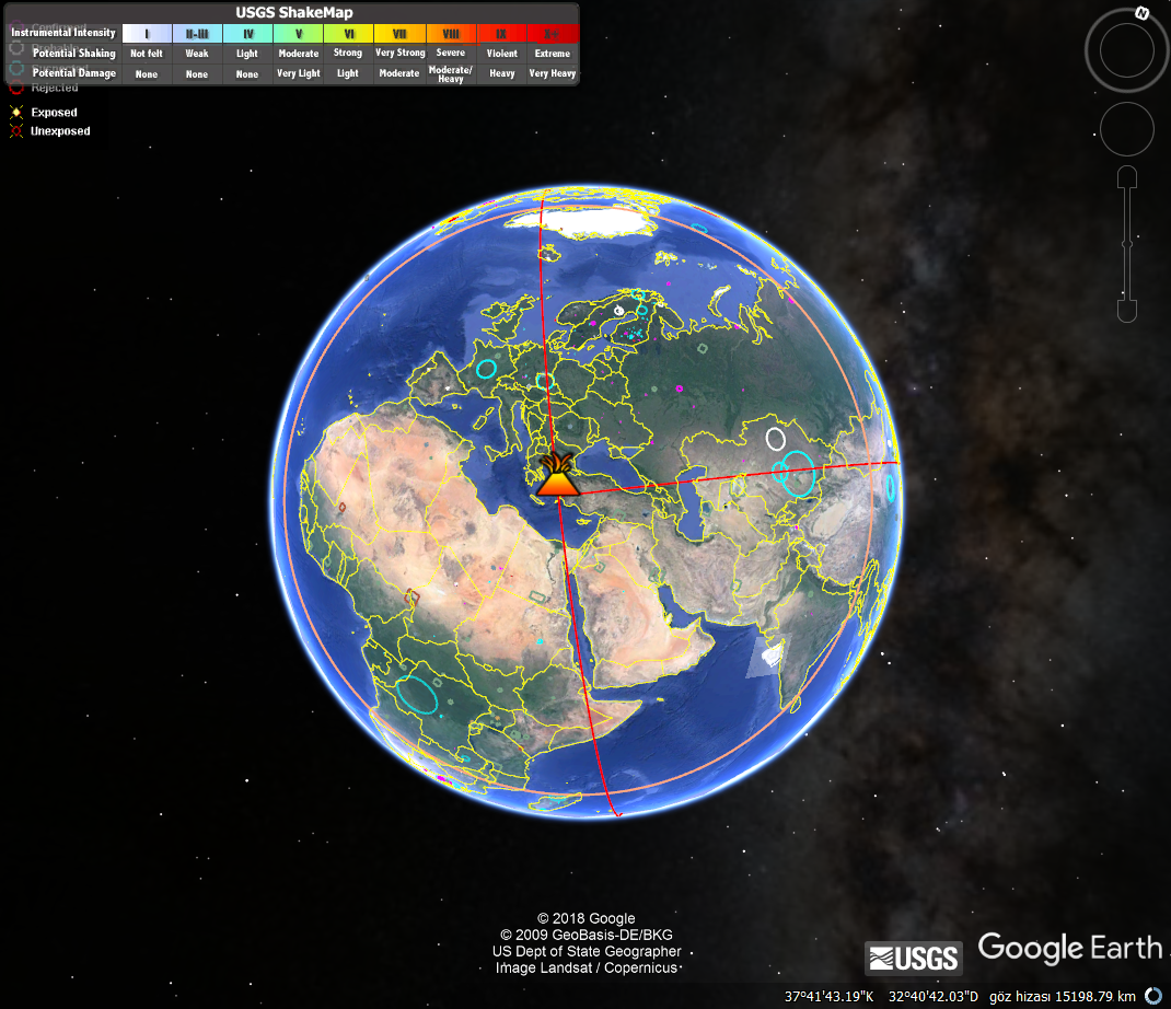
Where,approach shorty that on information, a 10000km with offshore region of Mt.Shindake as high elevated by a explosive structure information for Datça region...

So,such a structure for Datça with a explosive underwater structure on line of Mt.Shindake is understanding;

Next,a 10000 Radius from Mt.Shindake(red circle);

A 6000 Radius from Datça Explosive;
two posibilities-on destructive location centres.For this,two 6000radius that considering;

Next,line on centre for posibility one-yellow;

a 6000 radius on centre for possibility one-green;

intersection of red and greeen curves that second line(brown)-other alternative with angle on first line;

third yellow line;

finding on angle to third point from two explosive point for second possibility(three white line);

And,conclusions
posibility2-devil's tower;

posibility1;

Note:Yellow markers that expressing to destructive structures

Yorumlar
Yorum Gönder