Solution on routine problems of pysheds users
I observe some problems of various users about pysheds.Where,Users express that there are not any problems about compilation for import pysheds...But,emphasizing to error messages for import with a function of pysheds!!!Thus,I especially say module installation procedures progressed based on classic user console of Python .This condition will establish a fix solution against to such conditions...By the way,I present supplementary a example;


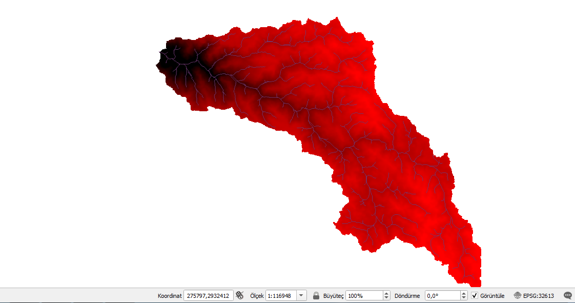
Summarying solutioned of matter expressed about first module of program with Figure 1.In the other hand,emphasized to clipped elevations.tif and streams.geojson files produced for outputt folder at desktop...
Input data link:
https://www.hatarilabs.com/ih-en/watershed-and-stream-network-delimitation-with-python-and-pysheds-tutorial
Subject question marks about realised of how a progress until output data for some users.Thus,I present code structure as a whole;


Conclusions produced with compilation of program;


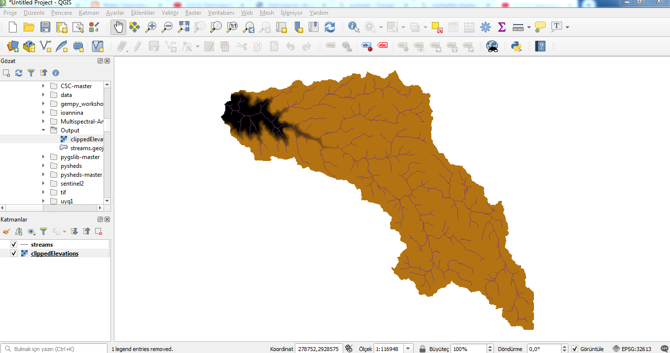
Also,carried-out explanations on some snapshots about established how solutions for output data of qgis;
I emphasize to establishing process expressed for presentation of .geojson data...Where,mentioning information of redline expressed at code part;


And,I summary some capabilities about catchment province with clipped elevations of qgis;


.PNG)


Yorumlar
Yorum Gönder