Qgis solution for NDVI and about filepaths of tif files
You know that subject access to .TIF files via some filepaths.In this mean,I shared a NDVI application;
https://mybloginfrmtns.blogspot.com/2019/04/raster-processing-using-python-tools.html
This time,I will present about NDVI presentation via Qgis solution;
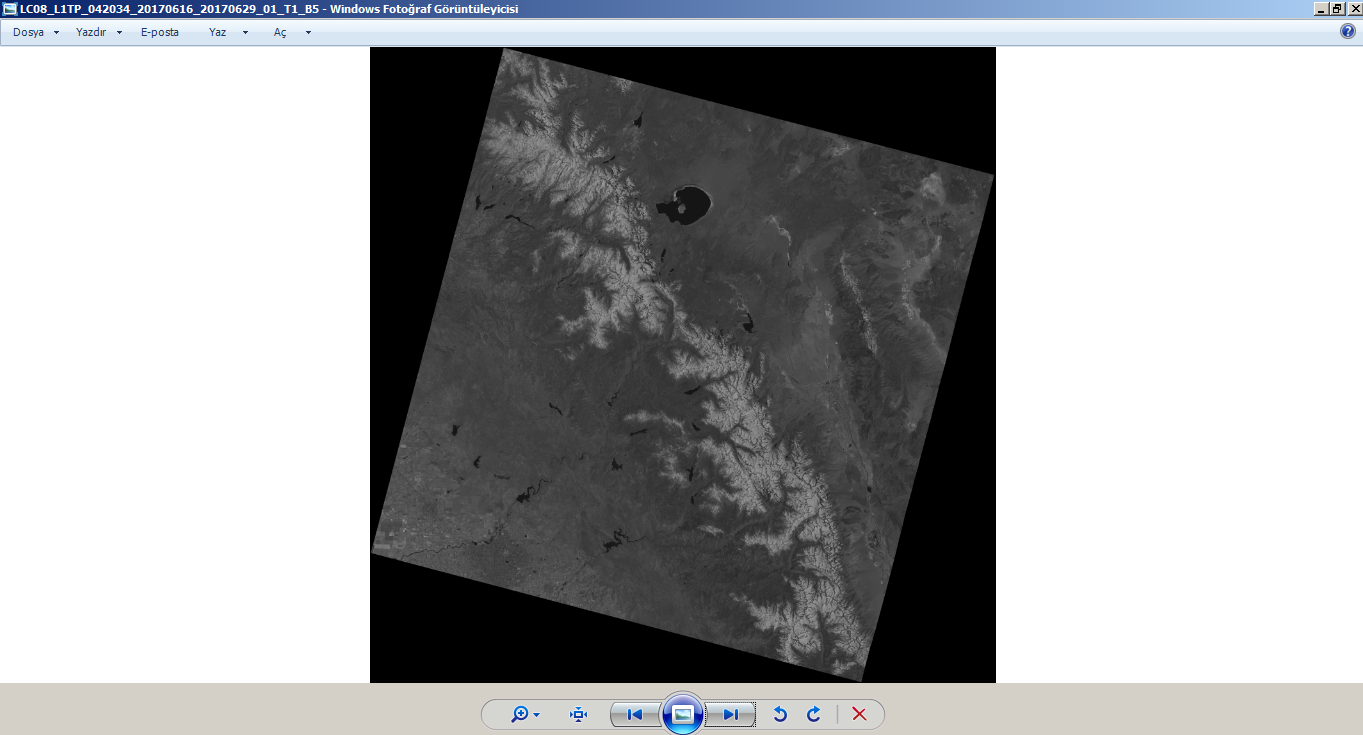
*You must download B4.tif&B5.tif files via filepath.Where,I only expressed as snapshots;


https://mybloginfrmtns.blogspot.com/2019/04/raster-processing-using-python-tools.html
This time,I will present about NDVI presentation via Qgis solution;
*You must download B4.tif&B5.tif files via filepath.Where,I only expressed as snapshots;

And next,Using Raster Calculator for NDVI calculation with exporting to layers of this files;

Where,

You will see a NDVI activation into layers after OK at Raster Calculator!!!I present about a summary of settings required for Symbology with Right click over this layer;

NDVI Condition between 6/16,2017 and 6/29,2017 for NE of Fresno with OpenstreetMap solution of Qgis;

.PNG)


Yorumlar
Yorum Gönder