Triangulation on Google Earth
I explained a boundary analysis as example;
https://www.blogger.com/blogger.g?blogID=1933100900550155075#editor/target=post;postID=5977481923606033389;onPublishedMenu=allposts;onClosedMenu=allposts;postNum=3;src=postname
Where,I expressed a small correction due to Earth Shape.Thus,Radius is 5000.Tangent as a whole that for four circles as good are carrying out...
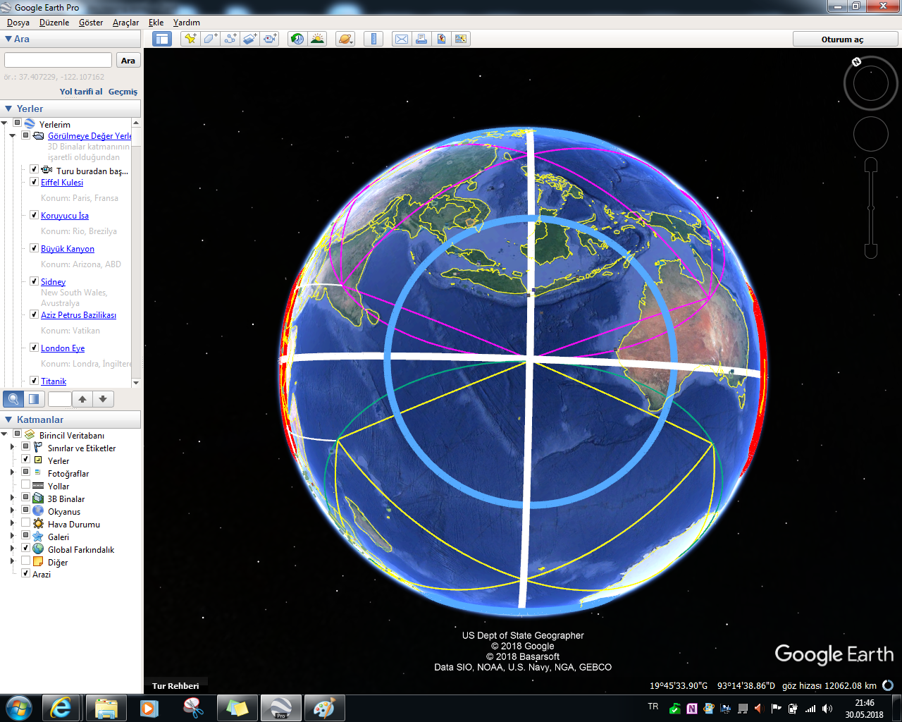
You know that orthogonal approach to polar coordinate in boundary analysis chapter.This time I realised equilateral triangulation model as linear as non-polar reference(So,triangulation on line for first 10000 diameter).Where,for example I considered between apprx. Kamchatka Region with S of Java Island as 10000.(In presentation will be present as purple zone).On diameter of this circle,other triangulations will consider.(This point quite important)Especially,I targeted to geometric selectivity with polygonal painting method.
I wonder a open source solution for Google Earth as automated triangulation which not only integrated with Google Earth also via using to capability on Google Earth Image Overlay of model outputs as a conclusion of program parameters as free from Google Earth.
Experimentists,you absolutely will evaluate that carrying out as automated a process to triangulation
quite important
I will wait your appreciated answers...


This time I planned for big equilateral triangulation...We will aim on Big equilateral triangulation
that a decreasing and increasing zone analysis for 10000 diameter via your determining as Design or
for 10000 diameter big earthquakes!!!

Blue line is your 10000 design or distance for two big earthquake as 10000.Thus,thick white lines are presenting to boundaries of max.equilateral triangles.Thick Blue and Red circles that your design or as conclusion of big 10000 distance event are expressing to increasing or decreasing fields;


A Important determination on example;
Serranilla Bank province as central is increasing...


Note:This example that a design determination.Thus,important for discoveries as Geologic...
--------------------------------------------------------------------------------------------------------------------
This time I will discover between Samoa and Chile(especially expressed as Redline) as interesting as structural.Among my conclusion;
Decreased Centres:
- ~Saskatchewan-Manitoba Boundary Region
- SW Region of Heard&McDonald Islands
- Niger-Maradi Region
- China-NE Region of Baoji
3000 and 5000 radius values with 1500 radius as different on first example are expressing on which is increasing and decreasing circle boundaries are understandable...


More clear conclusions via elimination of other layers for final;

-------------------------------------------------------------------------------------------------------------------------
I expressed on two event for 10000 distance on M>6.0 or 10000 distance between important tectonic structures.Maybe explanation information will be more clear...

I analysed for M>6.0 condition.This time conclusions of working for M>5.0 condition are presenting;


Note:Redline is distance of two M>5.0 event
Also,Green circles are will decrease and Blue circles will increase.You following this circles...
Additionally,orthogonal polar approach for circle operations as similar to old example have not evaluated
-----------------------------------------------------------------------------------------------------------------

Yes,to some effective evaluations on your Inverse and Forward analysis will catch...
And finally,I established to big supply to triangulation methodology for third point solution;
https://m.phys.org/news/2018-02-scientists-eavesdrop-volcanic-rumblings-eruptions.html
This chapter that have to big role on accelerating to our triangulation chapters
Thanks🙏
.PNG)


Yorumlar
Yorum Gönder