QGIS_Clear explanations about steps of a watershed model with DEM(.Tif)
Qgis is presenting very useful solutions for watershed modelling via Digital Elevation Model.In this mean,I will carry-out a explanation based on example
Data source link:
https://drive.google.com/drive/folders/1Y_BetElx9kRsQ7mWkjnq1ymObCTeWoX4
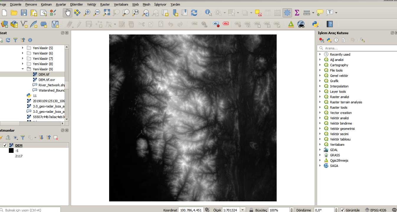
Firstly,calling to DEM file with Qgis;
And next,.dragging to qgis data presentation field via cursor .shp file for watershed boundary;

Exporting .shp file for river network via similar procedure;

Clip Operation:
Where,I concluded to shape of watershed with clip technic of GDAL;


You can express gradient modelling via considering to various combination via attributes of data clipped.Where,I only presented gradient by standart template;


And,final presentation with waterlines of watershed;


Yorumlar
Yorum Gönder