Kayıtlar

Temmuz, 2018 tarihine ait yayınlar gösteriliyor

Anatomy of studying as a 10000 radius at Google Earth

Resim
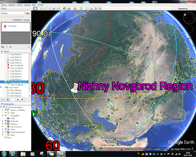
Hello everyone. I realised working on a sinkhole information that on 10000 km Radius concept... By the way,you will learn about 10000 km analysis for your various analysis studies at Google Earth. (Notes:Also,this working that informing about method of realised a  practical analysis with Google Earth.Steps that explained via headlines of files) Method is very powerful...For working to hole type provinces that there are 2 way; A determination by Macro Shape(as Mexico Bay)  A determination by Atoll Type Shape(as this example); This time,I wondered for Great Blue Hole as popular.Baker and Howland Atoll type Formations on 10000 working are very powerful implications; Conclusion steps;             Siberian Region among conclusions is interesting;        A example about having to clear implications for Holes of Province is presenting;    https://wattsupwiththat.com/2014/08/01/newly-discovere

Role of Sea Moisture and Salinity Parameter on Planetary System

Resim
Earth as based have not a complexity.So,informations about planetary system on vital signals of Earth is establishing. Vital Signals of Earth Temperature CO2 CO Gravity Field Sea Level Sea Moisture&Salinity Water Vapour This system via parameter is analysing.Thus,thanks to NASA data... Where,some informations about role of Sea Moisture and Salinity parameter will express. On Easy Model For example,Warming of Blacksea Upper water column on Natural Water Systems is quite important for various chapter.Next,unfortunately this column is very sense against to small effects. Explanation: More dense column always  more stable by upper column.So,we can say that effects have to role as more supplier to more dense column. Summary of this condition; Slimming of column for Upper Zone (either as depth or as flow). This condition is causing to conclusion as increasing of flow on column increasing for dense column Scheme_realised effect fo

Time Disturbance & about development of how a effect on time disturbances based on EM source

Resim
Information about caused to how effects of EM source will present on scheme;       c x t expression by a reference horizon quite informative for understanding to effects...        

On Spherical Structure of Earth,45 of 360 degree so 1/8 as angle is a implication of critique locations as boundary

Resim
This application for discovery as whole...For this,you must understand to reality of critique condition as a conclusion of spherical structure of Earth as 1/8.If this OK, Thus,I realised a Google Earth application.But,you know that a correlation condition due to Earth Shape ...this condition on a introductory is not considering(This condition is important note) Realised Event for a important tectonic boundary;       A example for 4216 Discovery as Diameter(Kermanshah event that corelated with Tadra Volcanic Field as distance)       Thus,other 4216 Circles;         My Weak Location Descriptions on Other Circles via this base;   -South Zambia-East Seychelles -Prince Edward Islands Region-South Indian Ocean Region -Antarctica Region-S of Australia -Pacific-Antarctic Ridge-Norfolk Region -Adamstown Region-Pukapuka Region      Again expressing that design of circles by a corelation is requiring...       ---

Phaselis Ancient City Discoveries

Resim
Ancient(Antique)Route      Temple Region on Antique Route               Realty as Coastal Geology of Region                So,a decreasing characteristique on Geologic Background of Region is expressing...Thus,I will present to my field observing via this studying;    Necropole Region       only a implication for Mid Region                    Agora Region Bath Complex Archway Inscriptions Route On Hadrian Gate Exhibited some  Works at Hadrian Gate Region